Seafloor habitat with eelgrass. Photo courtesy of Oregon State University
Benthic Habitat Mapping

Benthic Habitat Mapping

At the San Juan County Marine Managers Workshop in April 2023, participants identified the need for a seafloor habitat map/classification for the entire seafloor of SJC to allow evaluation of the proportion of particular habitat types within the county that might be impacted by vessel anchoring. Detailed benthic habitat mapping has been completed in the deeper areas of the region but many areas shallower than 25m i.e., within the anchoring depths of recreation boaters, have not been bathymetrically surveyed and lack benthic habitat characterization. High resolution mapping in these areas would substantially improve the knowledge of seafloor conditions that could be impacted from small boat anchoring, and could help to identify areas disturbed by anchoring as well as the occurrence of derelict fishing gear

This MRC effort will assess the percentage of potential benthic habitat types, especially the Inland Seas, soft, unconsolidated mud substrate that may be affected by recreational boat anchoring. Many of these areas are in shallow waters that have not been bathymetrically surveyed and lack benthic habitat characterization.

Areas of interest include:

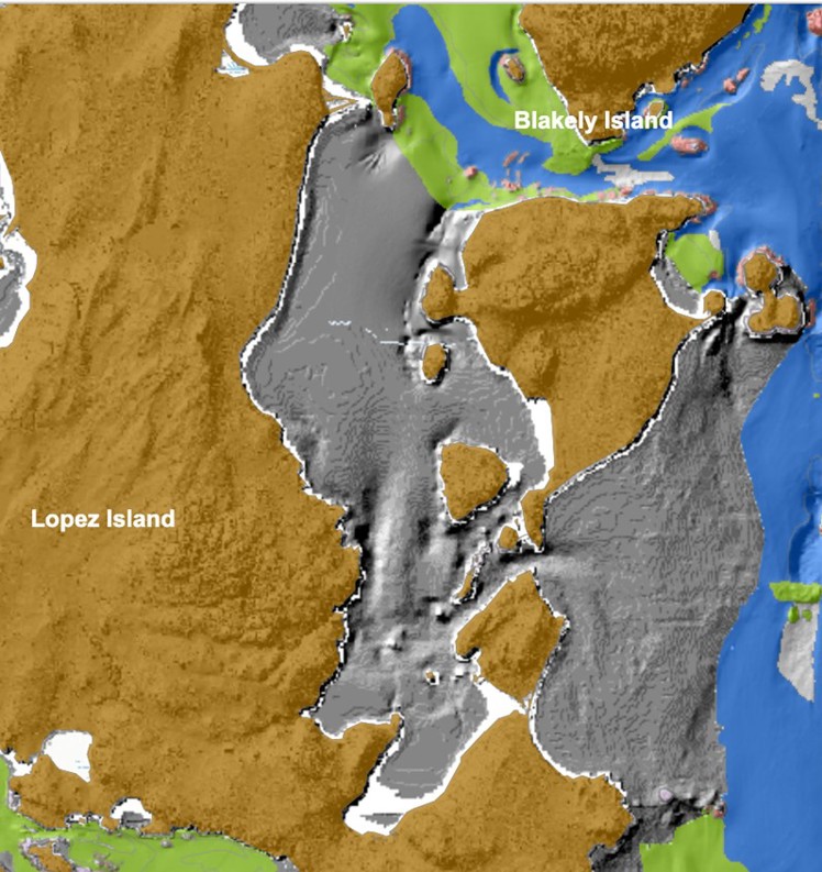
1) East side of Lopez Island, including Lopez Sound and east of Decatur Island;
2) North San Juan Island, including Roche Harbor, Westcott Bay, Garrison Bay, and Mosquito Pass;
3) Stuart Island, including Reid and Prevost Harbors;
4) Southwest Spieden Island. 

The objective of this study is to fill in the bathymetric and habitat gaps that exist in one or more of the areas mentioned above by undertaking a high-resolution multibeam echosounder (MBES) bathymetric survey, processing and interpreting the data, and constructing marine benthic habitat maps.

The bulk of the field work will occur in the summer of 2024, with data analysis and reporting to be finalized in 2025. This project is being funded by a NOAA grant, with funding administered by the Northwest Straits Commission.

Benthic Habitat Mapping